Location and Layout
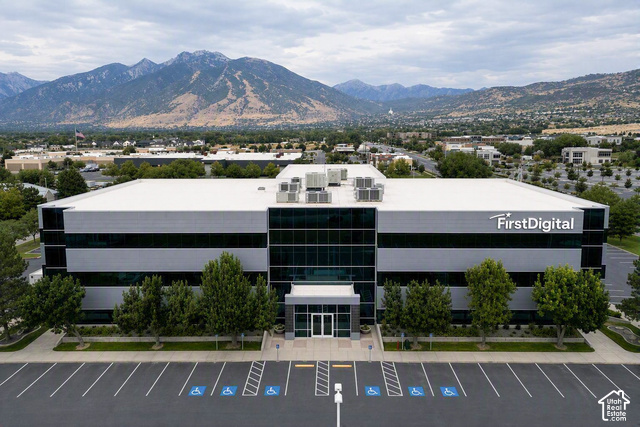
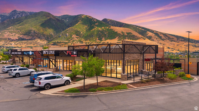
Draper lies roughly midway between Salt Lake City and Provo, bordered by Riverton and Bluffdale to the west, South Jordan to the northwest, Sandy to the north, Alpine to the southeast, Highland to the south, and Lehi to the southwest 1. The city has a total area of 30.1 square miles 1. At Point of the Mountain, Draper is known for being one of the most popular and best wind areas in the country for hang gliding and paragliding 1.
Housing and Schools
Listings show homes in subdivisions such as Suncrest, Park, South Mountain, Draper, Victors Pond, Sterling Heights, and Draper Heights, located in both Salt Lake County and Utah County 4. The portion in Salt Lake County is in the Canyons School District, while the portion in Utah County is in the Alpine School District 14.
- When was Draper incorporated?
- Draper was incorporated as a city in 1978.
- What public transportation serves Draper?
- Public transportation is provided by the Utah Transit Authority (UTA), with TRAX light rail at Draper Town Center and Kimballs Lane stations on the Blue Line, and FrontRunner commuter rail at Draper station.
- What is the climate like in Draper?
- Average temperatures in winter and summer are 30°F to 50°F and 80°F to 100°F, respectively, with snow usually falling regularly from November through March.