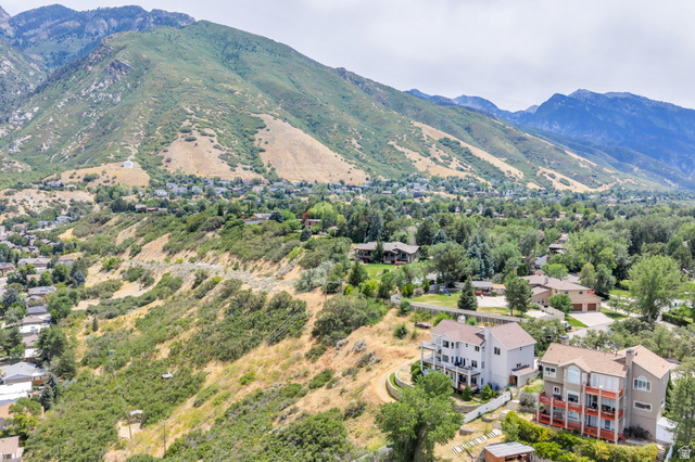
The Cottonwood Paper Mill is an abandoned stone structure located at the mouth of Big Cottonwood Canyon in Cottonwood Heights. It was listed on the National Register of Historic Places in 1971 [PLACES].
16 listings
We email you a link, and then you save it with one click.
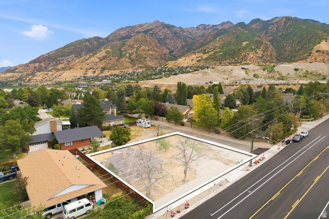
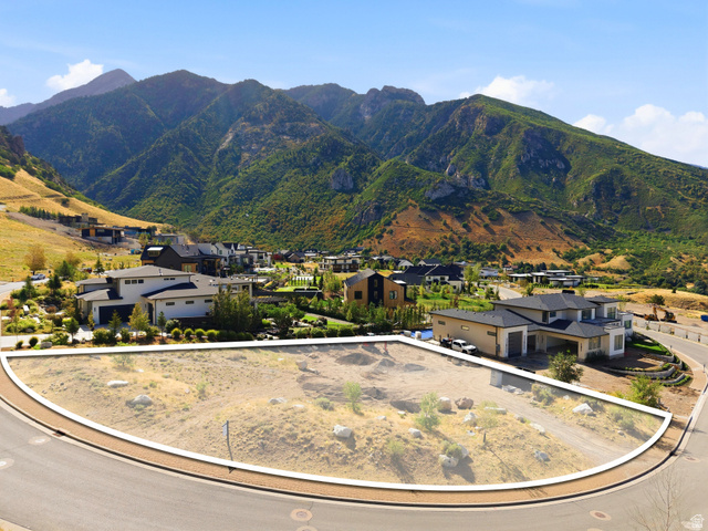
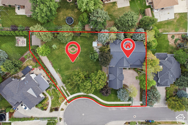
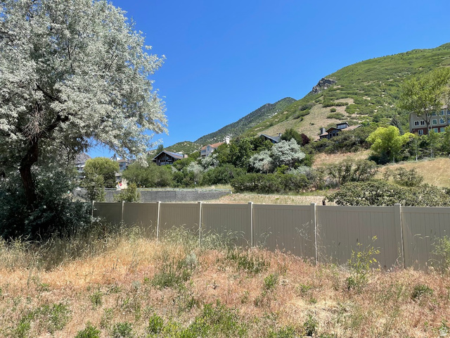
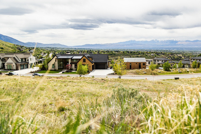
16 lots and parcels on the market in Cottonwood Heights right now. The median asking price is $999,500.
Cottonwood Heights is a city in Salt Lake County along the east bench of the Salt Lake Valley, incorporated on January 14, 2005. The city lies between Big and Little Cottonwood Canyons in the Wasatch Mountains and is served by the Canyons School District
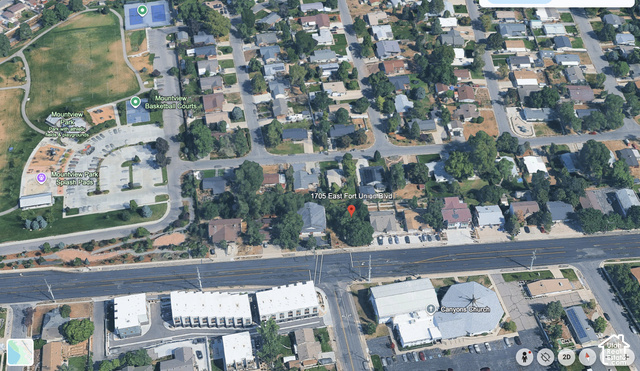
Asking $324.9K – $30.5MCottonwood Heights is located south of Holladay and Murray, east of Midvale, and north of Sandy within the Salt Lake City Metropolitan Statistical Area 1. The city's geography is dominated by a high ridge separating the valleys of Big and Little Cottonwood Creeks, which narrow into canyons at the eastern edge within the Wasatch Mountains 1. State Route 190 and State Route 210 run near the eastern edge and provide access to the canyons, while Interstate 215 runs along the northern border 1.
Listings in Cottonwood Heights show properties in subdivisions including Cottonwood, Apres Condominiums, Cottonwood Heights Sub, Somerset Estates, and Greenfield Village Plat D, among others, all within Salt Lake County 3. The city is in the Canyons School District, with Brighton High School as the only public high school and Butler Middle School as the only middle school within city limits 13.
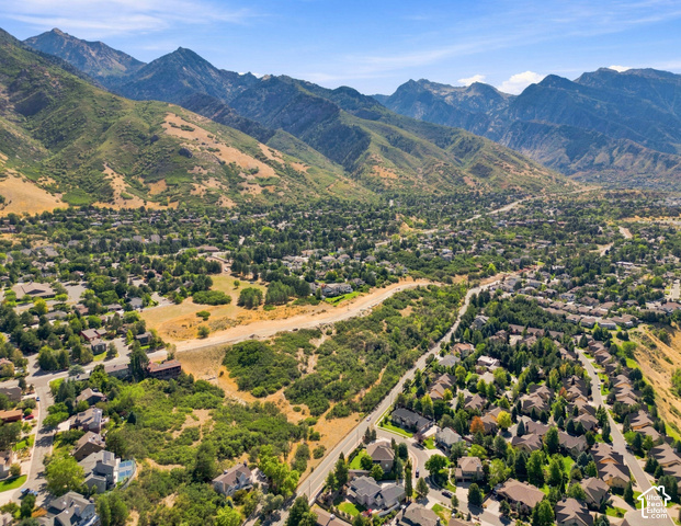
The Cottonwood Paper Mill is an abandoned stone structure located at the mouth of Big Cottonwood Canyon in Cottonwood Heights. It was listed on the National Register of Historic Places in 1971 [PLACES].
Wasatch–Cache National Forest is a United States national forest located primarily in northern Utah, with smaller parts extending into southeastern Idaho and southwestern Wyoming. The name is derived from the Ute word Wasatch for a low place in high mountains, and the French word Cache meaning to hide, originally referring to fur trappers, the first Europeans to visit the land. The forest boundaries include 1,607,177 acres of land [PLACES].
Twin Peaks Wilderness is a 11,396-acre wilderness area in the Wasatch Range of Uinta-Wasatch-Cache National Forest in Salt Lake County. The Mount Olympus Wilderness is directly north and separated by Utah State Route 190, while the Lone Peak Wilderness is directly to the south and separated by Utah State Route 210. Elevations in the wilderness range from under 5,000 feet to 11,330 feet on Twin Peaks [PLACES].
Ferguson Park is located at 7722 S. Prospector Drive and is the newest park in Cottonwood Heights [PLACES].
Listing data is provided by UtahRealEstate.com and is deemed reliable but not guaranteed. All data has not been verified by broker or the MLS.