Location and Layout
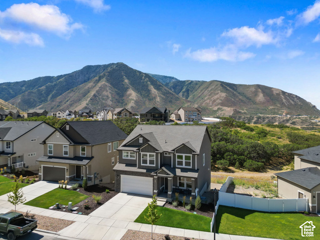
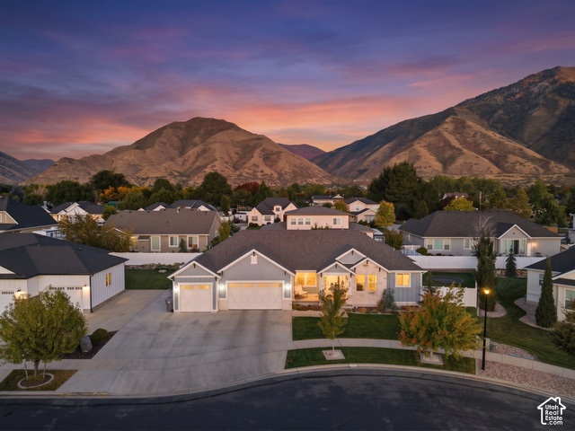
Mapleton has a total area of 12.6 square miles at an elevation of 4,700 feet above sea level. 1 The city is dominated by 10,193-foot Spanish Fork Peak to the southeast and 7,533-foot Ether Peak to the northeast, with Maple Canyon between the two mountains. 1 The city is bounded to the north by Hobble Creek and extends southward to the Ensign-Bickford plant in Spanish Fork, with U.S. Route 89 as the main artery through town. 1
Housing and Schools
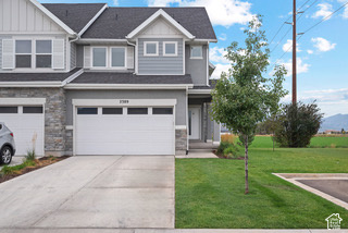
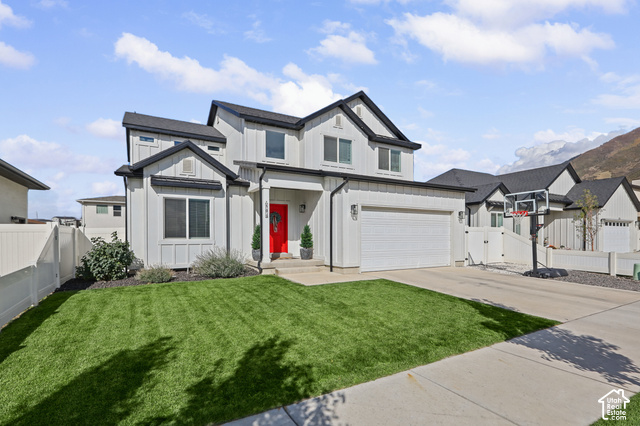
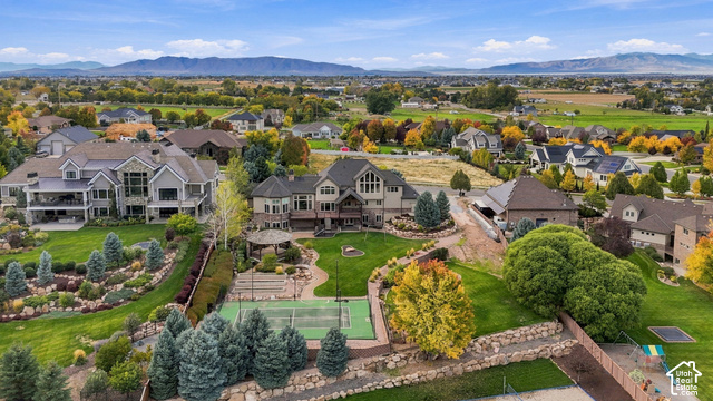
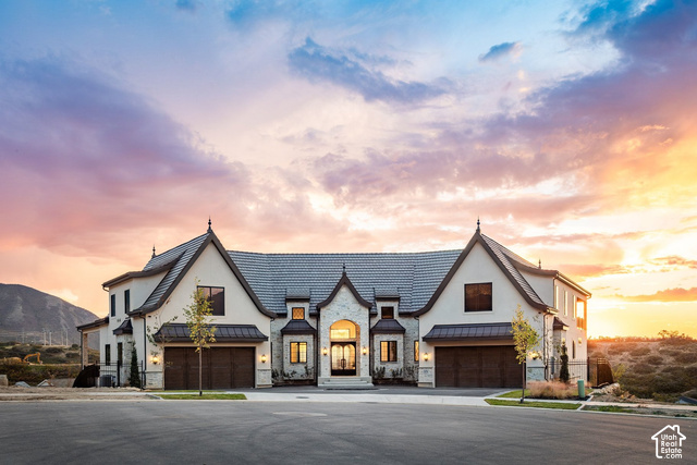
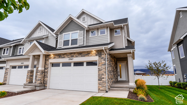
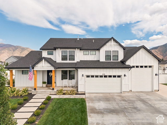
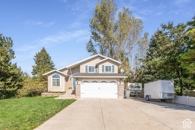
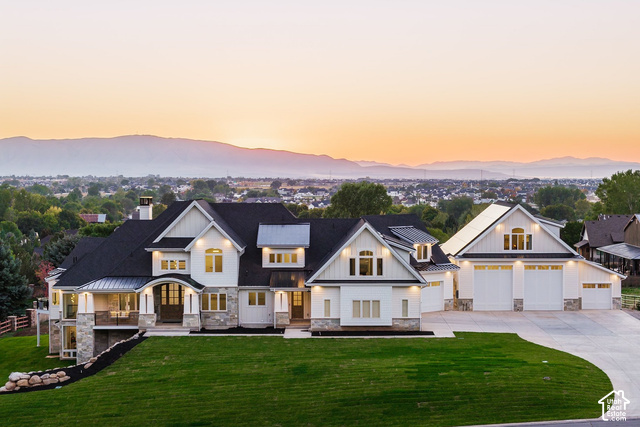
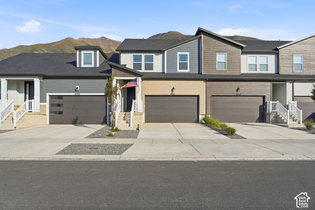
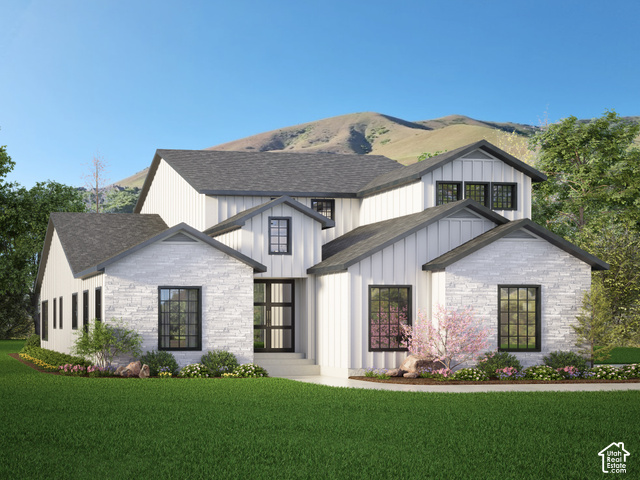
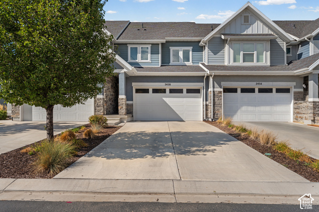
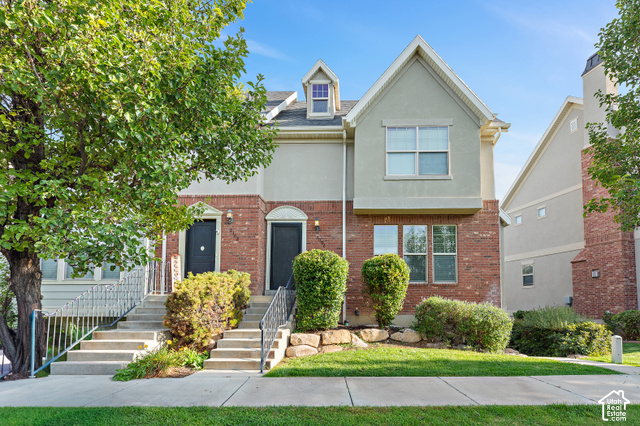
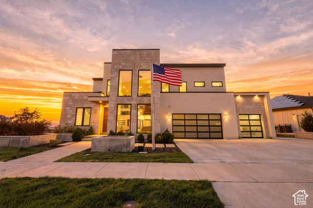
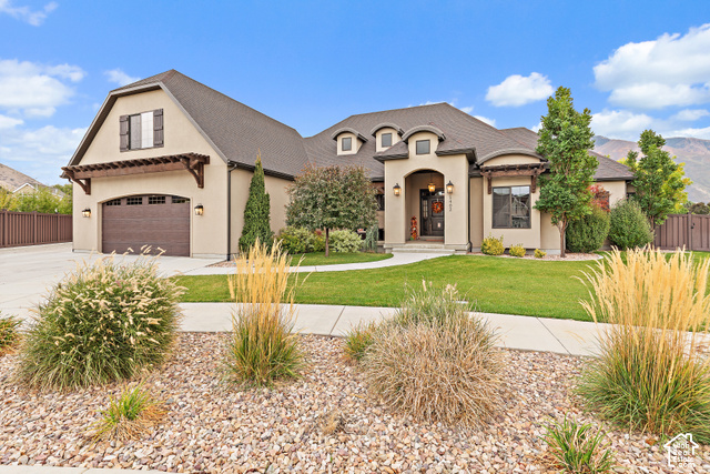
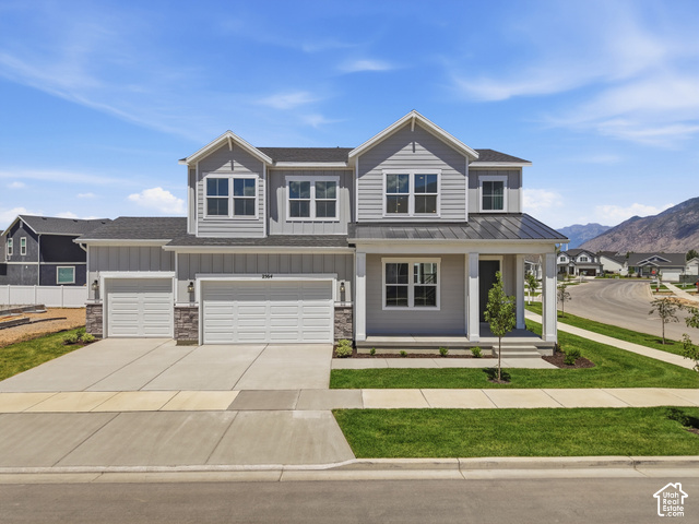
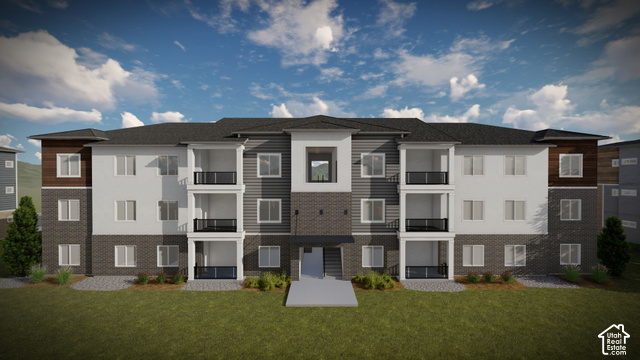
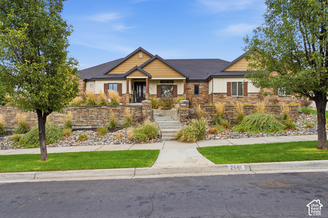
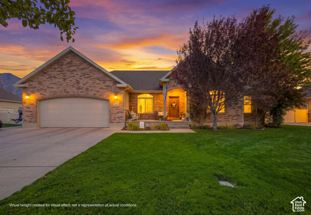
Mapleton remains somewhat rural but is rapidly suburbanizing, with numerous large subdivisions approved in the early 2000s coming to fruition recently. 1 Many of the homes are located on large lots, with most minimum lot sizes ranging from one-third acre to 2 acres. 1 Mapleton is served by Nebo School District. 14
- When was Mapleton established?
- The area was first settled in 1850, incorporated as a town in 1901, and became a city in 1948.
- What school district serves Mapleton?
- Mapleton is served by Nebo School District.
- What parks are in Mapleton?
- Parks include Mapleton City Park, Ira Allen Park, Eagle Rock Park, North Park, and Harvest Park.