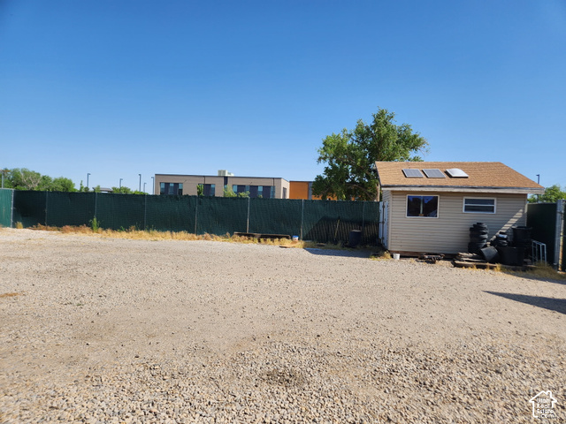


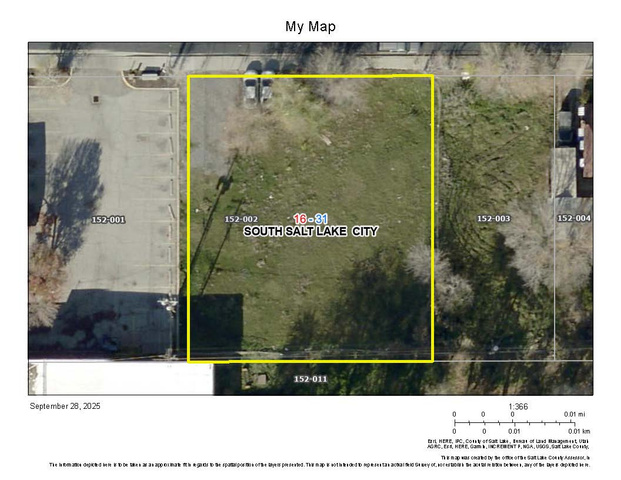
Gallery
Material Gallery
Land for sale in South Salt Lake, UT
10 listings
Save this search
Sign in to save this search
We email you a link, and then you save it with one click.
10 lots and parcels on the market in South Salt Lake right now. The median asking price is $168,750.
South Salt Lake is a city in Salt Lake County and a core inner suburb of Salt Lake City, part of the Salt Lake City metropolitan area.
Asking $100K – $3.5MLiving in South Salt Lake
26,777residents (2020)
2rail stations
4named trails
11named parks
Location and History
The city is bordered by the Jordan River on the west, 500 East and 700 East on the east, 2100 South on the north, and 3900 South on the south, with mostly flat terrain ranging in elevation from about 4,330 feet to 4,380 feet. 1 South Salt Lake incorporated as a town on September 29, 1938, and became a third-class city on August 1, 1950. 1 In the 1990s, the city annexed portions of unincorporated Salt Lake County to the south and nearly doubled in land area. 1
Housing and Schools
Listings in South Salt Lake show homes primarily in the Granite and Salt Lake school districts. 3 South Salt Lake lies within the Granite School District, served by three public elementary schools (Lincoln, Woodrow Wilson, and Roosevelt) and one junior high school (Granite Park Junior High). 1
Places to know in South Salt Lake
- Central Valley Golf CourseGolf course
- Parker TheaterTheater
Parker Theatre offers timeless live theatre performances in downtown Salt Lake City and features a Soda Fountain serving homemade treats, making every visit a memorable experience with unforgettable entertainment and delicious refreshments. [way/224902329]
- Nibley Park Golf CourseGolf course
- Central ParkPark
- What major highways serve South Salt Lake?
- I-15, I-80, and SR-201 intersect in the northwestern portion of the city at an interchange known locally as the "Spaghetti Bowl," and US-89 runs north-to-south along State Street through the heart of South Salt Lake.
- What public transit options are available?
- UTA's TRAX light rail runs through the city with three stations (Central Pointe, Millcreek, and Meadowbrook), and the S Line streetcar opened in December 2013 with stops at Central Pointe and along South Main Street before leaving the city.
- What is The Crossing development?
- The Crossing is a mixed-use development between State Street and Main Street just south of 2100 South, oriented around mass transit with an S-Line streetcar stop adjacent, planned to include housing units, retail, office space, and greenspace.
Listing data is provided by UtahRealEstate.com and is deemed reliable but not guaranteed. All data has not been verified by broker or the MLS.